Company
- Home
- About us
Listings
- Summary of listings
- Elfrida Farm
- Dateland Tract-SOLD!
- Bouse Organic - SOLD!
- Taylor Dairy- SOLD!
- Benson Land- SOLD!
- Holbrook Ranch - SOLD!
- Greater AZ Farm - SOLD!
- Squaw Crk Ranch -SOLD!
- J&K Organic Farm -SOLD!
- White House Rnch- SOLD!
Services
- Brokerage
- Appraisals
- Site Selection/Assembly
- Market research
- Property Tax Analysis
- Water rights
- Mapping/GIS
Members
- Steve Pendleton
- Mack McKeon
Careers
- Appraisal & Real Estate
News
- Blog/RSS ![]()
- Member login
Mapping/GIS
We offer custom mapping/database services across Arizona; typically these are used for:
- Combining data from different organizations that typically don't work together
- Site Selection/Assemblage/Market Research
- Historical Aerial Imagery comparisons
- Soils, Flood Hazard and Slope Analysis
We also can create custom maps of your property for marketing or informational purposes.
Portfolio Snapshots
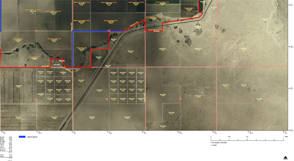
Aerial survey of a district lateral across a client's tract
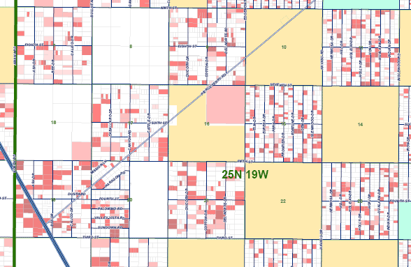
A more detailed market survey at the section level
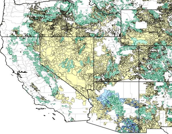
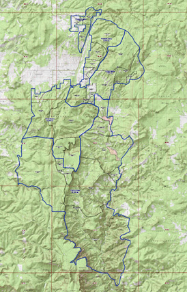
Custom topography map of a ranch's grazing allotments and fencelines
|